
There is a misconception that if properties in your area have tapped into an underground water supply, you can sink a borehole. While this does increase your chances, instead of relying on guesswork or nearby borehole records, geophysical survey drilling provides a clear picture of subsurface layers before any equipment drills into the ground. Let the team of experts at Inyati Drilling and Mining explain the importance of surveys before a sustainable water source can be secured.
What is Geophysical Survey Drilling?
In practical terms, geophysical survey drilling bridges the gap between surface observations and underground reality. Borehole installations benefit enormously as the survey data collected guides our drilling team to producing aquifers rather than uncertain locations. This early investment reduces the risk of dry boreholes, avoids unnecessary drilling depth, and protects budgets.
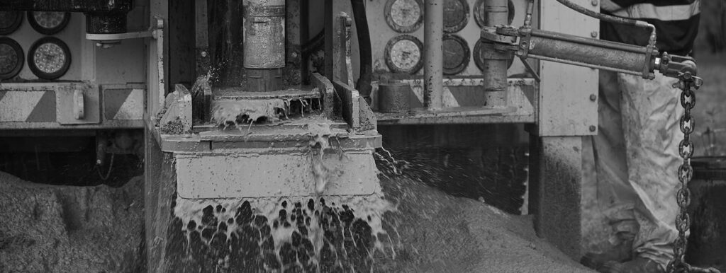
Analysing Subsurface Layers
A borehole geophysical survey focuses on analysing underground layers using methods such as electromagnetic profiling. The techniques used identify contrasts between rock types, fractures, and saturated zones that indicate groundwater. By interpreting these signals, specialists pinpoint optimal drilling positions and estimate depth requirements. Homes gain dependable water access, agricultural operations gain sustainable irrigation sources, and businesses gain a long-term water supply without costly trial-and-error processes.
Examining Groundwater Movement
Geohydrological surveys expand on geophysical findings by examining groundwater movement, recharge patterns, and aquifer sustainability. These studies assess how water flows through underground formations and how extraction may affect surrounding areas. The outcome of the survey is vital for responsible water use and regulatory compliance for farms and industrial sites. Through geohydrological surveys, you gain a better understanding of yield potential and long-term reliability. This knowledge protects your investment and helps prevent over-extraction, contamination risks, or seasonal shortages. The result is a borehole system from Inyati that aligns with both environmental conditions and operational demands.
Site Mapping
Site mapping integrates survey data into a clear visual model of underground features. This allows us to precisely position our rigs, avoiding obstacles that cause delays or equipment damage. For complex sites such as large agricultural fields or commercial developments, mapping aids in coordinated planning for multiple boreholes. Every drilling decision we make relies on evidence rather than assumption.
Drilling Preparation
Survey results guide equipment selection, drilling methods, and casing requirements, ensuring the borehole suits local geological conditions. The preparation phase minimises unexpected challenges during drilling and keeps the project on schedule. Fewer abandoned holes, reduced drilling time, and lower maintenance needs all equate to time and cost savings. Relying on data-driven analysis rather than chance is always the better option.
Environmental Considerations
Targeted drilling reduces ground disturbance, limiting damage to vegetation, soil structure, and surrounding ecosystems. By identifying productive aquifers accurately, fewer test holes are required, which decreases carbon emissions associated with repeated drilling attempts. Responsible borehole placement reduces the risk of contamination by avoiding unsuitable geological zones, protecting both groundwater quality and environmental health.
Partner with the Industry Leaders
At Inyati Drilling and Mining, our team uses advanced drone technology to assist geologists in accurately mapping and measuring physical properties beneath the surface before drilling commences. We are committed to developing long-term partnerships with our clients, taking the time to fully understand your specific requirements. This includes carefully considering timelines, budget parameters, the intended purpose of the drilling, and identifying the most efficient and sustainable extraction method to deliver a viable borehole.
Geophysical survey drilling remains one of the most effective tools available for improving borehole success. By consulting with us for your dependable water solution, we can help protect your finite resource.